Carried into space on a SpaceX rocket To be used for farmland surveys, agricultural production and supply management
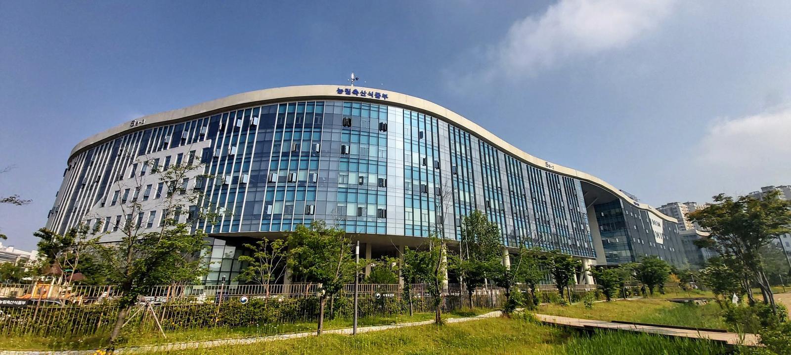
Front view of the Ministry of Agriculture, Food and Rural Affairs building. Provided by the Ministry of Agriculture, Food and Rural Affairs
The first domestically developed satellite dedicated to agriculture and forestry, built with indigenous technology, is set to be launched into space. It will observe the entire Korean Peninsula every three days and provide data needed for farmland surveys and agricultural supply and demand management.
According to the Ministry of Agriculture, Food and Rural Affairs on the 5th, at 4:10 p.m. on the 7th (12:10 a.m. local time on the 7th), the agricultural and forestry satellite, which is the No. 4 next-generation mid-sized satellite, will be launched aboard SpaceX’s launch vehicle “Falcon 9” from Vandenberg Space Force Base in the United States. About 2 hours and 22 minutes after launch, it will separate from the launch vehicle, and 31 minutes later it will attempt its first communication with the Svalbard Ground Station in Norway.
The agricultural and forestry satellite is Korea’s first independently developed satellite specialized for agriculture and forestry. It was jointly developed by the Korea AeroSpace Administration, the Rural Development Administration, and the Korea Forest Service to reduce dependence on foreign satellites. With a resolution of 5 meters, an observation swath of 120 km, and a three-day revisit cycle, it can regularly image the entire Korean Peninsula. Equipped with five spectral bands advantageous for identifying the growth status of crops and forest resources, it enables observations tailored to the structure of Korea’s agriculture and forestry sectors.
The ministry plans to use the satellite for surveys on farmland use and for monitoring implementation of the public direct payment scheme. For example, satellite imagery will be analyzed using artificial intelligence (AI) to identify uncultivated land, greenhouse and facility areas, forest land, and parcels on hold for judgment, after which on-site inspections will be conducted where necessary. Management information such as cultivated items will also be continuously verified to prevent fraudulent receipt of payments.
The satellite will also be used in the management of agricultural supply and demand. By continuously collecting data on the cultivated area of crops with sensitive supply-demand conditions, such as vegetables, and on the growth status of staple crops such as rice and soybeans, the authorities plan to forecast production volumes and proactively respond to sharp price fluctuations. It will also enable rapid detection of abnormal signs such as pests and diseases.
After launch, the agricultural and forestry satellite will undergo an initial operation phase for about four months in an orbit at an altitude of approximately 888 km, and then begin full-scale missions from the first half of next year (January–June).
Sejong=Kim Su-yeon
AI-translated with ChatGPT. Provided as is; original Korean text prevails.
ⓒ dongA.com. All rights reserved. Reproduction, redistribution, or use for AI training prohibited.